


(ECNS) -- China has rolled out an integrated "air, space and ground" monitoring system to better detect and prevent major geological disasters, the Ministry of Natural Resources announced Monday, marking the country's 17th National Disaster Prevention and Reduction Day.
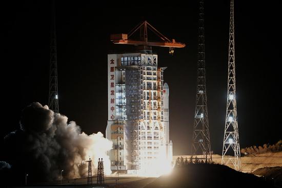
According to the Ministry, currently, China has deployed over 10 remote sensing satellites for major natural disaster prevention and control, including optical and synthetic aperture radar (SAR) satellites.
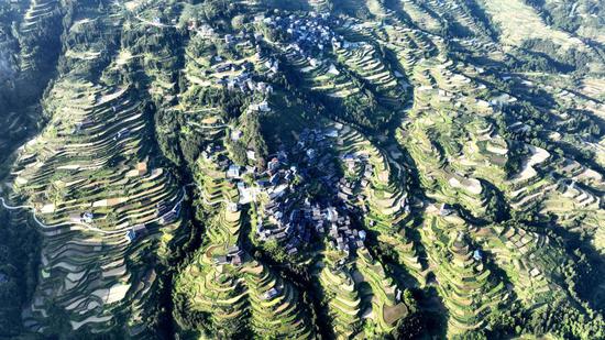
It has employed remote sensing satellites for geological risk identification since 2020. To date, over 46,000 major potential geological hazards have been detected nationwide.
Ge Daqing, director of the Remote Sensing Technology Research Institute at the China Aero Geophysical Survey and Remote Sensing Center for Natural Resources, noted that the use of these advanced technologies has improved the identification accuracy rate for major potential hazards to 80% in Gansu, Qinghai, Sichuan, and other provinces.
"This is particularly valuable for areas inaccessible to ground surveys," Ge said.
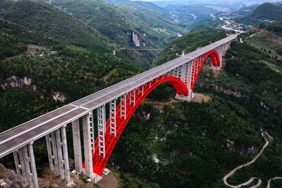
Upon identifying potential risk sources via satellite, low-altitude drone observations can enhance detection precision. Combined with ground surveys, geological hazard sites would be positioned for targeted preventive measures.
In recent years, China has implemented real-time risk monitoring by installing sensors -- including BeiDou landslide monitors and mud potentiometers -- at hazard sites. The BeiDou system achieves millimeter-level precision in measuring surface deformation. Currently, automated monitoring stations have been established across 27 provinces, covering over 70,000 identified geological risk locations.
(By Zhang Dongfang)


 京公網安備 11010202009201號